GREAT RIVERS GREENWAY

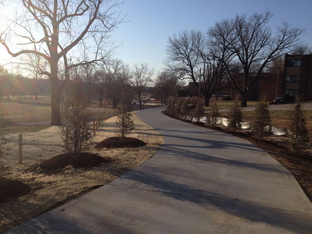
The St. Louis region is defined by North America’s great rivers – the Mississippi and Missouri. The Mississippi River, together with the Meramec and Cuivre rivers, forms a three-quarter ring around Great Rivers Greenway District. By linking these rivers with the Missouri River through a series of interconnected greenways, parks and trails, the circle is completed, providing access to The River Ring throughout the St. Louis region. When complete, The River Ring will link three counties, join two states, and cover an area of 1,216 square miles.
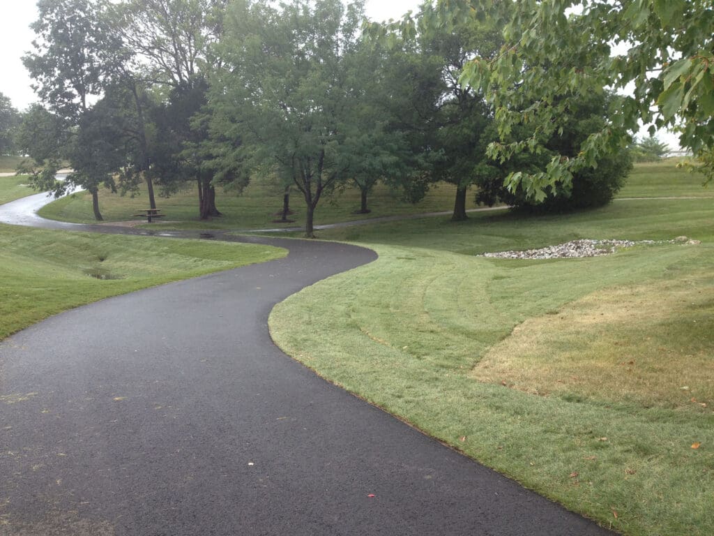
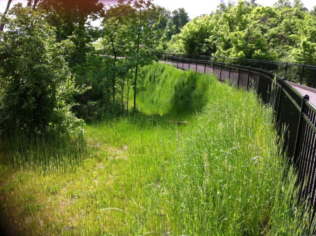
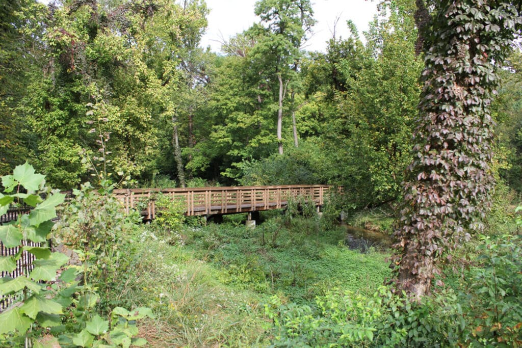
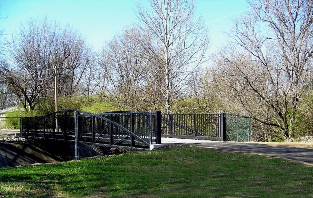
PARIC has completed 15 projects and seven greenways for this massive park project in the last 12 years totaling over 40 miles of trails. In addition to walking and biking trails, six bridges have been constructed over creeks and rivers. Many of the greenways include parks, rest and picnic areas, scenic overlooks, lakes, ponds, parking areas, and retaining walls. Each portion of this River Ring showcases its own unique topography and setting with a trail for everyone.